METHODS Document – Grouse & Grazing Methods Summary 2021
Location of Study Sites:

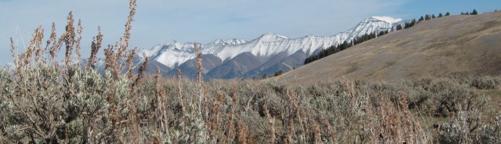
—Big Butte—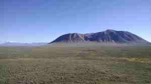

Located in the big desert region of the Snake River plain between Arco and Blackfoot, it’s backdrop has remnant volcanoes (Big Southern Butte) that created the lavaflows that now make up this area. This site relatively level but has a maze of undulating lava hills intermixed with sagebursh.
Size: 14,300 acres | Elevation: 5,124 ft. | Annual precipitation: 8.7 inches
Vegetation community: Three-tip sage (Artemisia tripartita), basin big sage (Artemisia tridentata tridentata)
—Brown’s Bench—
This site is located near Salmon Falls Reservoir. It is sandwiched by the reservoir to the East and Monument Springs mountain to the west, and stretches south to the Nevada boarder. The nearest town is Rogerson and the nearest city is Twin Falls. These pastures consist of rolling sagebrush uplands with several small creeks draining the area.
Size: 15,862 acres | Elevation: 5,327 ft. | Annual precipitation: 10.6 inches
Vegetation community: Black sage (Artemisia nova), Wyoming sage (Artemisia tridentata wyomingensis)
—Idaho National Laboratory—
This site is southeast of Arco, ID on Department of Energy property. This site is composed of sandy soils and historic lava flows. The little lost river intersects the site. The unique characteristic of this site is that it has not been grazed by cattle or sheep in ~50 years. This study site was added to the project in 2019, but due to the COVID-19 pandemic and a fire across much of the site, we were unable to continue field work after the first season.
Size: 227,602 acres | Elevation: 5,327 ft. | Annual precipitation: 8.6 inches
Vegetation community: Wyoming sage (Artemisia tridentata wyomingensis), basin big sage (Artemisia tridentata tridentata), Three-tip sage (Artemisia tripartita)
—Jim Sage—
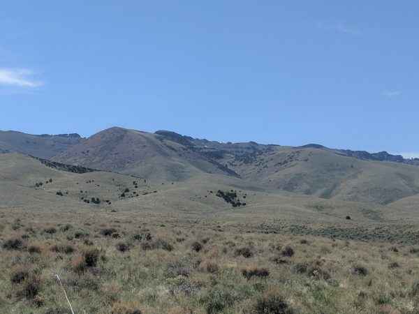
Located on the toe slope of the Jim Sage mountains near the Utah boarder in south central Idaho the nearest town to this site is Malta. This site consists of gentle to moderate east facing sagebrush covered slopes. Jim Sage has several moderately sized dairy operations within short distance of the study site.
Size: 6,194 acres | Elevation: 5,423 ft. | Annual precipitation: 9.7 inches
Vegetation community: Low sage (Artemisia arbuscula), Wyoming sage (Artemisia tridentata wyomingensis), mountain sage (Artemisia tridentata vaseyana)
—Pahsimeroi Valley—
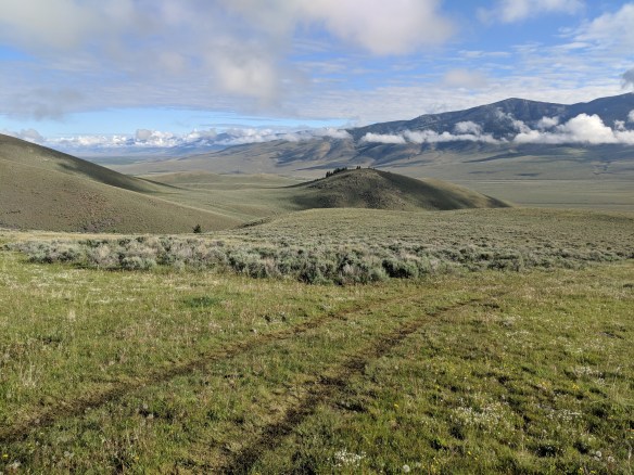
This site lies to the east of Challis near the headwaters of the Pahsimeroi River in the central part of the state. It is sandwiched between the Lemhi Range (east) and the Big Lost Range (West). The Pahsimeroi river runs down the center of these pastures. The landscape here range from river flats to the toe slopes of nearby mountains. Some irrigated agricultural fields (primarily alfalfa) are near these pastures.
Size: 27,605 acres* | Elevation: 6,560 ft.* | Annual precipitation: 8.7 inches
Vegetation community: Low sage (Artemisia arbuscula), Wyoming sage (Artemisia tridentata wyomingensis)
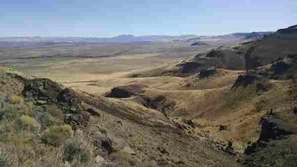
—Sheep Creek—

Located south of Bruneau, this site is the most remote of all. Sheep Creek contains rugged canyons, rolling sagebrush hills, and willow laden riparian areas. You can view the Jarbidge Mountains to the southeast and escape the summer heat into Humboldt National Forest directly south of the site. Fires in 2018 destroyed half of our focal pastures here but we will continue our work on the those that remain in 2019.
Size: 19,640 acres (pre-fire); 7,936 acres (post-fire) | Elevation: 5,546 ft. | Annual precipitation: 13.1 inches
Vegetation community: Wyoming sage (Artemisia tridentata wyomingensis), low sage (Artemisia arbuscula)
